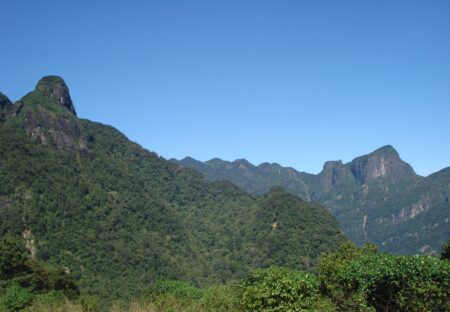





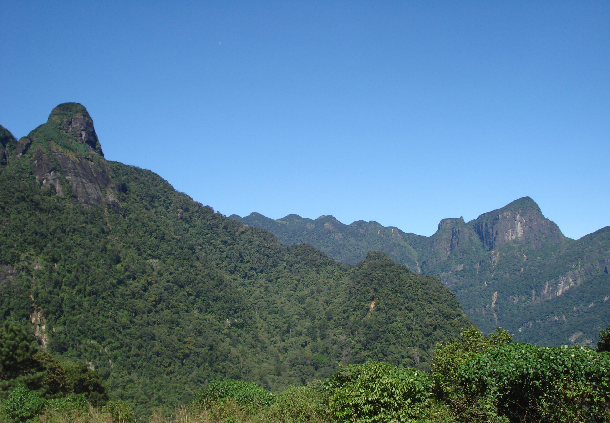
The Knuckles Mountain Range is where Sri Lankan hikers go when they’re serious. East of Kandy, this UNESCO-listed wilderness — part of the Central Highlands World Heritage inscription — packs more than thirty peaks, cloud forest, montane grassland, hidden waterfalls, and one of the island’s last traditional villages into a landscape that early British surveyors thought looked like the knuckles of a clenched fist. Locals call it Dumbara Kanduvetiya — the misty mountains — which tells you what to expect from the weather.
It is also the hiking area most first-time visitors get wrong: too big to “do” in a day, wetter than the brochure photos admit, and home to leech populations of genuine ambition. Here’s how to get it right.
Where the Knuckles Mountain Range actually is — and the three ways in
The range sits between Kandy and Matale, and your experience depends heavily on which entrance you choose:
1. Deanston / Hunnasgiriya side (from Kandy). The classic access via the 18-hairpin road toward Corbett’s Gap. The Deanston conservation centre is where day-walk permits are handled, and short trails (including a Mini World’s End viewpoint loop) start here. Best for: first visits, day trips from Kandy.
2. Riverston / Pitawala Pathana side (from Matale). The road climbs to nearly the good views by itself. Pitawala Pathana’s grassland plateau and its own Mini World’s End cliff edge are a gentle 1-hour circuit; Sera Ella and Bambarella-side trails extend the day. Best for: maximum scenery per unit of effort.
3. Meemure (deep inside). A village of a few hundred people encircled by the range, reached by one dramatic road over Corbett’s Gap. Overnighting here — home-cooked rice and curry, waterfall swims, the Lakegala monolith looming over everything — is the most memorable thing the Knuckles offers. Our separate Meemure guide covers the logistics.
The hikes, from easy to earned
- Mini World’s End (Deanston side) — ~1 hour return through cloud forest to a cliff-edge viewpoint. The introduction.
- Pitawala Pathana loop — ~1 hour on open grassland; go at dawn when the mist lifts off the plateau in sheets.
- Sera Ella & Riverston area falls — half-day combinations by road and short trail.
- Dothalugala Nature Trail — a proper half-day forest climb from Deanston with summit views on clear mornings.
- Nitro Caves & Corbett’s Gap routes — full-day territory; a guide stops these being navigation exams.
- Multi-day crossings (e.g., toward Meemure or Bambarella) — the full Knuckles experience: camping or village homestays, river crossings, and total disconnection. Guide required in practice, and worth it.

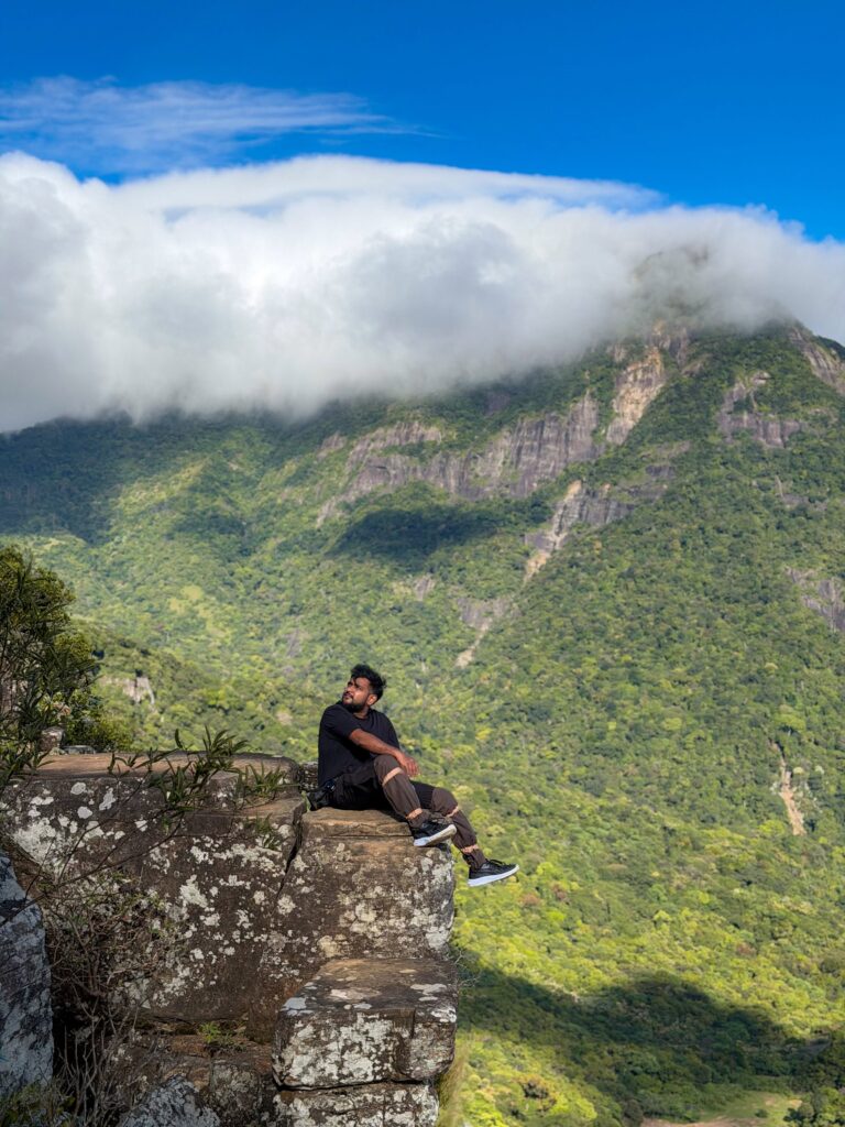
Pitawala Pathana View Point, Knuckles Mountain Range
Permits, fees, and rules
The Knuckles Mountain Range is a protected conservation forest managed by the Forest Department. Entry to the conservation area involves a ticket for foreign visitors (modest — think restaurant-meal money, not safari money) payable at entry points like Deanston; some roadside viewpoints on the Riverston side are freely accessible. Rules worth respecting: no plastic litter (bags are sometimes checked), no drones without permission, and camping in designated areas. Fees and rules get adjusted — confirm at the gate rather than trusting any website’s exact number, including ours.
When to go — the honest calendar
The Knuckles has micro-climates: the eastern flanks sit in the intermediate zone and stay drier when the southwest monsoon soaks the rest of the hill country (roughly May–September), while January–March is the most reliable window range-wide. October–December brings the northeast monsoon and serious rain. Any month: mornings are clear, afternoons cloud over, and mist can erase a viewpoint in five minutes. Plan summits before 9 am and treat afternoon plans as bonus material.

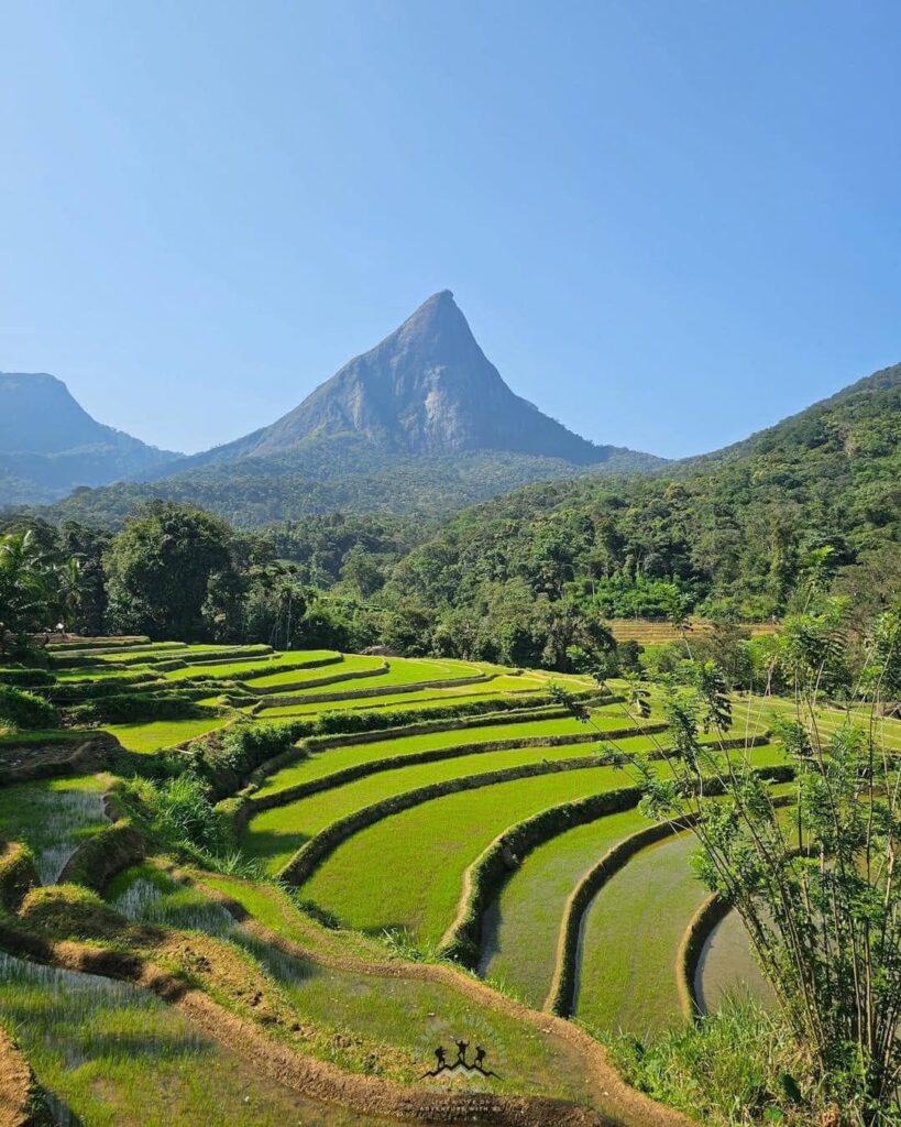
Memure, Knuckles Mountain Range.
The leech briefing (you’ll thank us)
In wet months the Knuckles Mountain Range hosts leeches in numbers that convert hikers into philosophers. They’re harmless, but the defence matters for morale: socks pulled over trousers, a spray of soap water or salt solution on shoes, and check-stops every half hour. Dry season on the eastern side, they largely vanish. Do not let them cancel the trip — everyone’s first leech is a crisis and their tenth is an anecdote.
Suggested plans
- One day from Kandy: Deanston entrance → Mini World’s End → Dothalugala if legs allow → back by evening.
- One day from Matale/Riverston: Pitawala Pathana at dawn → Sera Ella → Riverston viewpoints.
- Two days (the right answer): Day 1 over Corbett’s Gap to Meemure, overnight homestay; Day 2 waterfall swim and return.
FAQ
Do I need a guide? For the short marked trails, no. For full-day and multi-day routes, effectively yes — trails brade, mist kills visibility, and local guides (bookable via Deanston, Riverston guesthouses, or Meemure hosts) are inexpensive and excellent.
Is it suitable for kids/beginners? Pitawala Pathana and Mini World’s End, absolutely. The rest scales up quickly.
Camping? In designated zones with permits — or skip the tent and homestay in Meemure, which is warmer, drier, and comes with dinner.
Phone signal? Assume none once past the entrances. Offline maps, and tell someone your plan.
Continue exploring: Meemure village, hiking in Sri Lanka — the full ranking, and Horton Plains. UNESCO’s Central Highlands listing, which includes the Knuckles, is documented at whc.unesco.org.
Last updated July 2026.